
Mount Laurel Neighbors: Block Sources
Start with the Mount Laurel parcel, then move outward one lot at a time. A map can show the geography around an address, a tax record can identify the owner of record, and a recorded document can add a legal description or earlier party. A requested voter file has its own legal route and privacy limits. Development names can place an address in a community, but they are not membership lists. The table keeps those different kinds of block evidence separate.
| Source | What It Shows About a Block | Access |
|---|---|---|
| Parcel map and tax map | Lot geometry, road context, and the legal parcel key around a Mount Laurel address. | County viewer when available; statewide explorer, download, or physical tax map fallback. |
| Assessment or tax list | Owner, situs and mailing addresses, block/lot, class, values, and exemptions. | Mount Laurel WIPP route, NJ Transparency, and MOD-IV data. |
| Recorded document | Parties, date, legal description, and image availability for a deed, lien, or mortgage. | Burlington County PRESS by its date-specific search rules. |
| Voter registration material | Requested name, address, party, ward, district, and ballot-event fields if lawfully released. | Superintendent of Elections request form, redactions, and applicable rules. |
| Development inventory | Named Mount Laurel development and associated street reference. | County 2022 inventory, not a directory of members. |
| Historical street directory | Past address-section clue for a former block. | Library or archive collection with varying coverage. |
An owner record may be a useful connection, but it does not establish who currently lives at a Mount Laurel address. A mailing address can differ from the situs, and a historic street listing records only its own publication date. For a block search, compare records rather than treating any one result as a complete picture.
Map a Mount Laurel Block
Burlington County labeled its public Property Viewer and recommended mapping application offline during the research capture. That status does not prevent a Mount Laurel block search. Use the statewide parcel resource to locate the starting address, then compare the nearby tax-lot geometry with a county tax map and the tax-list identifier. The county's downloadable mtlaurel layer carries tax-lot boundaries dated 09/17 and a NEWGISID link to MOD-IV.
The New Jersey statewide parcel explorer is the source for the Mount Laurel parcel reference below.
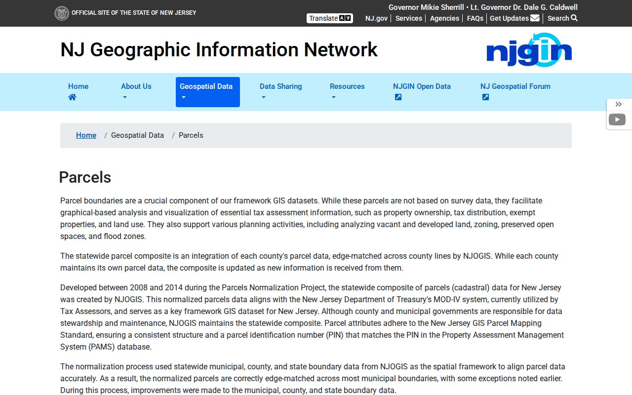
Once the geography is clear, use the legal keys to confirm each parcel's current record. Do not assume that a visible map label proves a person is currently at the nearby address.
- Begin with one Mount Laurel situs address. Find its parcel by address, county and municipality, or by block and lot.
- Read the surrounding lot pattern. Note the parcels adjoining the starting tax lot and preserve their block, lot, and qualifier values.
- Check each parcel record. Compare owner-of-record, mailing address, assessment year, and legal description before recording a Mount Laurel block-research lead.
- Extend only when needed. For a named street rather than an immediate block, use the Mount Laurel street directory workflow.
Mount Laurel Tax Maps When GIS Is Down
The county tax-map page provides a dedicated Mount Laurel PDF link, and physical maps are available in room 111 of the County Administration Building in Mount Holly. This fallback is especially useful when nearby lot shapes or a block line need to be checked without a live county viewer. NJ's standardized parcel data also uses a PIN linked to MOD-IV, though statewide records can redact owner names for Daniel's Law protections.
MYTH. A block boundary, road, or development name is not an ownership record. For a Mount Laurel block search, pair the map with the annual tax list and a PRESS legal description. That method avoids turning geometry into an unsupported name claim.
Mount Laurel Voter File Requests
New Jersey's public voter-status lookup is intended for a voter checking personal registration status, with exact county spelling important to a match. It is not a way to build a Mount Laurel block roster. Burlington's Election Results page instead directs requests for voter registration lists to the Superintendent of Elections and says the Information Technology Voter Request Form controls format and applicable charges.
The official Burlington voter-file request route is represented in the image below.
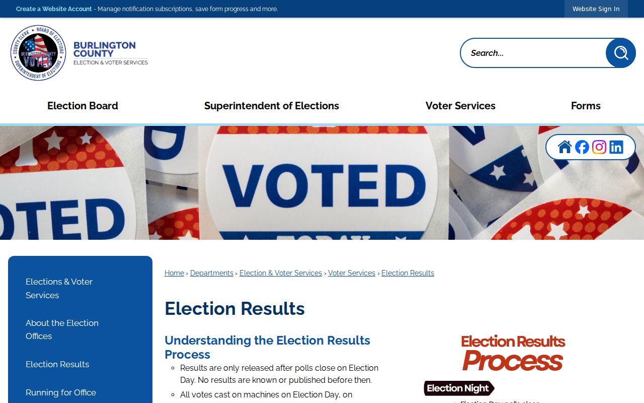
Where lawfully released, election material can include a name, residence address, mailing address, party affiliation, municipality, ward, district, registration status, or update history. Signatures, Social Security numbers, driver-license data, non-driver identification numbers, and protected addresses are redacted. Requesters should use only the data and conditions supplied by the official form.
Mount Laurel Election Board Records
The Burlington County Board of Elections handles polling maps, district responsibilities, and ballot functions, while the Superintendent of Elections and Commissioner of Registration maintain registration-list routes. Both county offices are at 301 Harper Drive in Moorestown. Keeping the two roles straight helps a Mount Laurel block-record request reach the right custodian instead of treating a public status screen as the full file.
The Burlington County Board of Elections provides the official board information shown below.
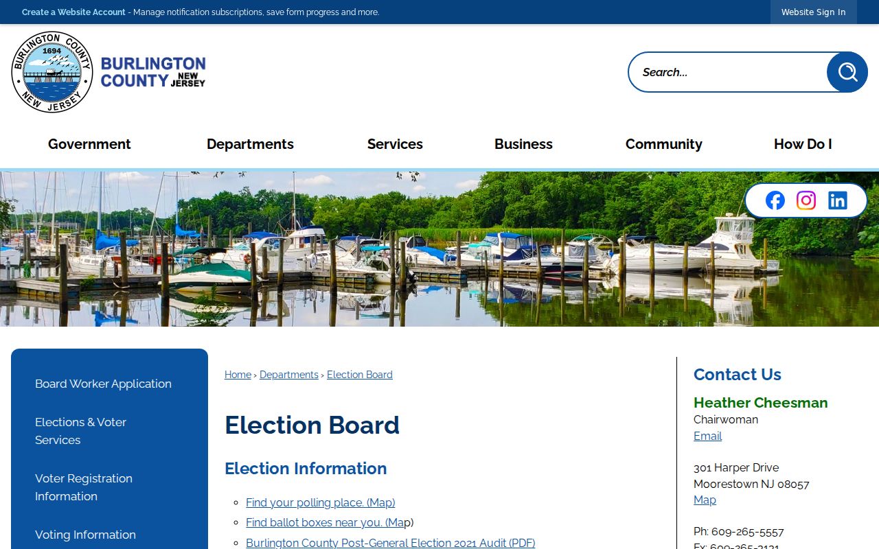
Historical election material may require a county, State Archives, or local-repository request. No verified Mount Laurel poll-book or historic registration-register year run was located in the research, so it should not be assumed from a current election record.
Mount Laurel Development Inventory
Burlington County's 2022 development inventory supplies local geography for a Mount Laurel address. It can help connect a subdivision-era address to planning or permit context. The inventory is not a membership directory, does not identify current residents, and does not provide a basis to contact people on the block. Its value is the named development and street association.
| Mount Laurel development | Street reference in the inventory | Use of the record |
|---|---|---|
| LeClub I | Arden Court | Development-location context |
| LeClub II | Ralston | Development-location context |
| Madison Place | Saxony | Development-location context |
| Northwoods I | Bluebell / Lake Drive North | Development-location context |
| Northwoods II | Sumac / Lake Drive South | Development-location context |
| Park Place | Normandy | Development-location context |
| Ramblewood Mews | Cypress Point Circle | Development-location context |
| Renaissance Club | Lindale | Development-location context |
| Springwood Green | Camber | Development-location context |
| Treehouses I | Kelly Cove | Development-location context |
| Treehouses II / Village of Ramblewood | Mulberry Cove | Development-location context |
| Mount Laurel Crossing | Larchmont | Development-location context |
| Stirling Court | Hastings Way | Development-location context |
| Summit Apartments | Bradley | Development-location context |
| Roger's Walk | Deal | Development-location context |
| Tricia Meadows | Sagemore | Development-location context |
Community and organization contacts can help reconnect someone to a group or verify a public affiliation, but private membership lists should never be presumed open. For a Mount Laurel parcel, use the inventory alongside the tax lot and official request channels, not as a resident list.
Mount Laurel Directory Choices
Official records and commercial neighbor-lookup products are different categories. Official Mount Laurel sources identify their custodian, search limits, date cutoffs, and redactions. Commercial tools may combine public and other data, but their presentation is not a substitute for the actual tax, clerk, election, or privacy rule that controls the underlying record.
| Source type | Useful for | Check before relying on it |
|---|---|---|
| Official parcel, tax, and deed records | Documented parcel owner, legal description, assessment fields, and recording data. | Custodian, tax-list year, date cutoff, and lawful redactions. |
| Official election request route | Records available through the Superintendent under the request form. | Release conditions, required form, redactions, and applicable charges. |
| Commercial neighbor tools | A possible lead to verify independently. | Source date, error risk, opt-out process, and the official record behind the claim. |
Note: A recorded owner, a voter-file entry, and a development name each describe a different fact, so none should be merged into a full household profile.
Mount Laurel ACP Address Limits
New Jersey's Address Confidentiality Program provides a legal substitute address and mail forwarding for eligible people facing qualifying victimization or threats who have relocated or will relocate. Agencies must accept the substitute address. The program cannot erase an address that was already publicly recorded, but it can protect future exposure. A missing Mount Laurel address can therefore be a lawful protection rather than a search error.
The New Jersey Address Confidentiality Program is the source linked with the privacy image below.
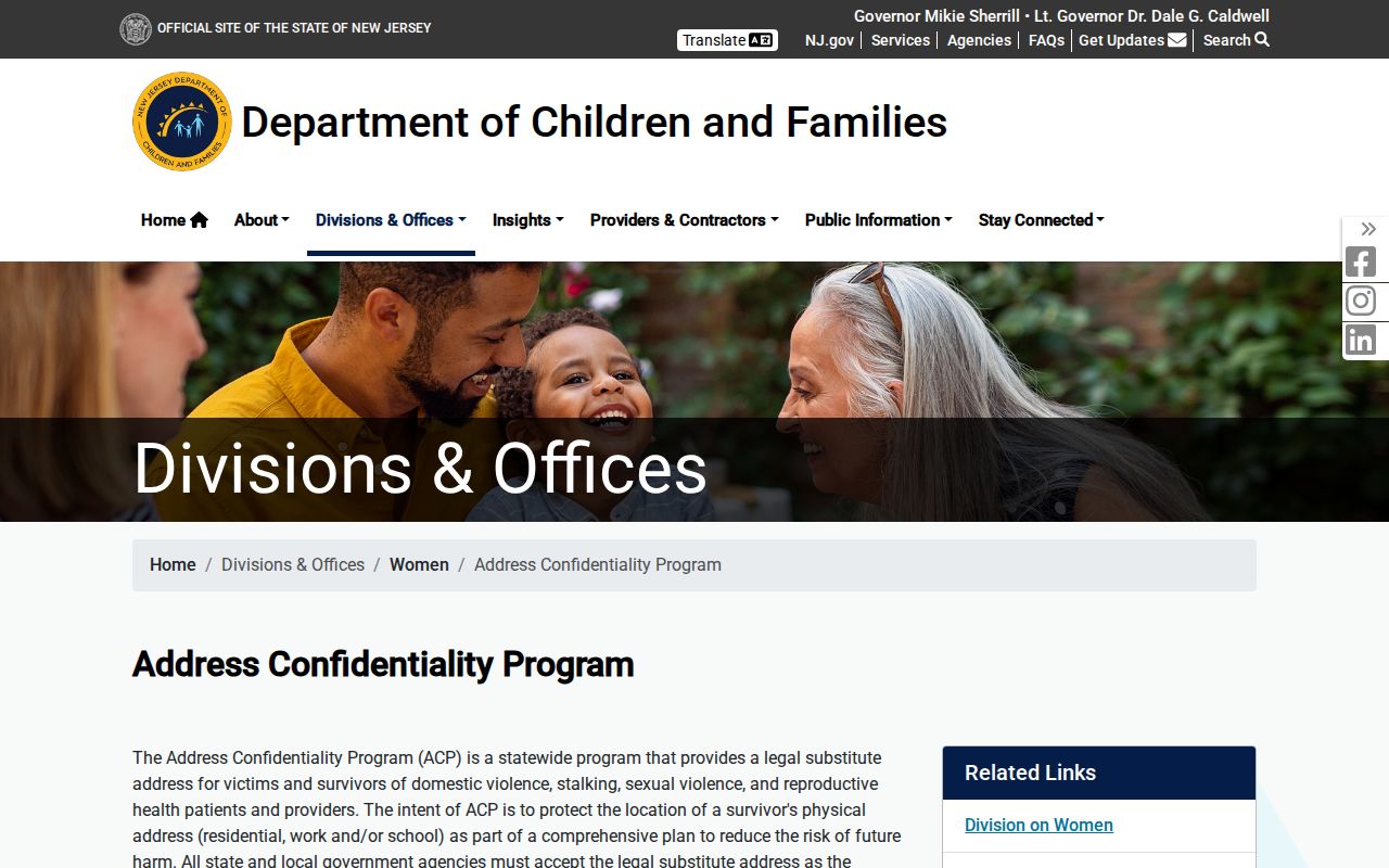
Do not try to work around an ACP substitute address with utility, delivery, or motor-vehicle data. Those sources are not public ways to identify people at a Mount Laurel address.
Mount Laurel Daniel's Law Redactions
Daniel's Law protects the home addresses and unpublished telephone numbers of covered public servants and household members through the New Jersey Office of Information Privacy. Covered and authorized people can receive redaction protection across publicly accessible state, county, and local government records and websites. As a result, a Mount Laurel property, voter, or address record can lawfully omit a name or address field.
The New Jersey Daniel's Law program is the source for the redaction image below.
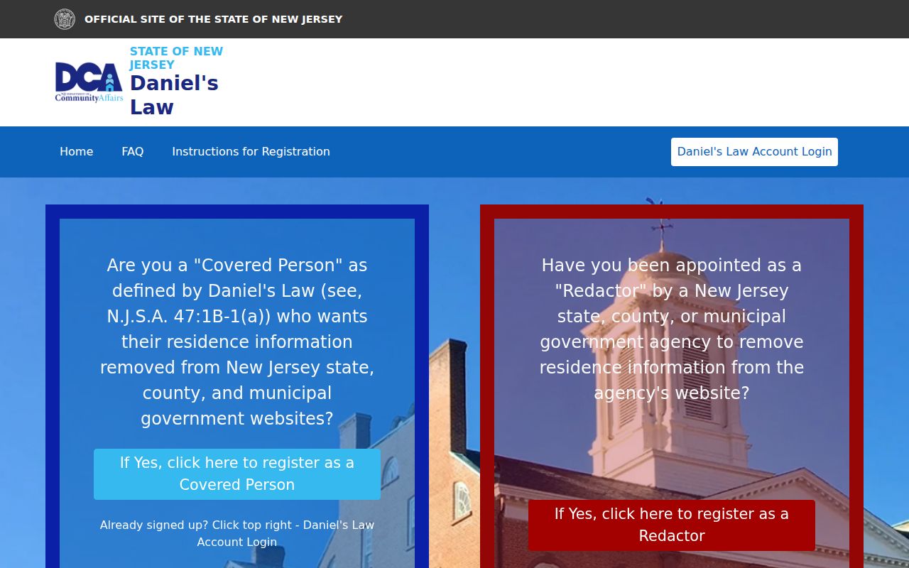
State reporting said more than 10,000 people had protection by April 28, 2025. A gap should be respected, not treated as permission to seek a protected address through another route.
Mount Laurel Neighbor Lookup Limits
Mount Laurel neighbor research is limited by design. Parcel and deed records do not index every household member. Utility customer lists are not public. DMV address data is restricted by federal law. The county property viewer's status and a commercial tool cannot override those limits, and neither can a development inventory. A legal redaction, an older tax year, or an owner mailing address may explain a mismatch without proving that any person is at a given address.
Lawful use. Use Mount Laurel neighbor records for personal research, reconnecting, and civic context. Never use a public record to stalk, harass, threaten, intimidate, or conduct unwanted surveillance of another person.