
Mount Laurel ZIP Code Coverage
The Mount Laurel ZIP code directory begins with a narrow fact: 08054 is the only current preferred Mount Laurel mailing ZIP verified in the official USPS material used for this research. Nearby codes are useful boundary checks and office-location clues. They are not a list of additional township residential ZIPs. A ZIP service area follows postal delivery operations, while a township boundary follows government geography. Use the standardized delivery result for a particular address before assigning it to any row below.
| ZIP | Areas Covered | Post Office | Notes |
|---|---|---|---|
| 08054 | Preferred Mount Laurel mailing city and township delivery area | Mount Laurel and area carrier operations | Primary verified Mount Laurel mailing ZIP; postal service does not define the township line |
| 08053 | Marlton and Evesham area adjoining southern Mount Laurel | Marlton post office area | Boundary reference only; verify any specific address with USPS |
| 08055 | Medford and Medford Lakes area adjoining southeastern Mount Laurel | Medford post office area | Postal and township boundaries need not match |
| 08057 | Moorestown area adjoining northwestern Mount Laurel | Moorestown post office area | County election or library addresses can use this ZIP while serving Mount Laurel |
| 08060 | Mount Holly county-seat area | Mount Holly post office area | County-office location, not a Mount Laurel residential ZIP |
USPS-derived material also associates 08054 with acceptable or nonpreferred place names including Masonville, Mount Laurel Township, and Rancocas Woods. That variation does not make the address wrong. It means the USPS-standardized city and ZIP line should be retained alongside the legal municipality shown in parcel and tax records.
Note: The historical Postmaster Finder warns that its ZIP reference may not be current, so it is not the final delivery check.
Mount Laurel Postal Place Names
A post office name, a township name, and a parcel's legal municipality can differ without any record being defective. Burlington County's emergency-addressing guidance specifically cautions residents to distinguish the town where they live from the post-office place name used for mail. That distinction is especially useful near Evesham, Medford, Moorestown, and Mount Holly, where a nearby postal geography or county office can look local in a directory result but belongs to a different municipal record system.
The USPS post-office and ZIP reference can help identify postal context. It should be read as a reference tool, not proof that all addresses using a code belong to the same township.
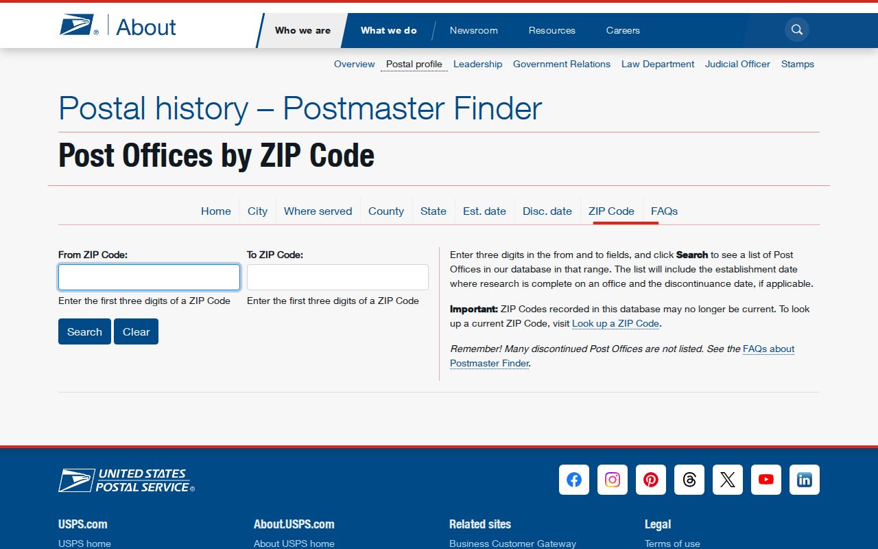
The distinction matters when a county service has a Moorestown or Mount Holly mailing address but handles records for Mount Laurel. For tax, court, or election work, follow the office's jurisdiction and the actual record type, not the place name printed in its delivery address.
Verify a Mount Laurel ZIP Code
Verify a complete delivery address before using it in a property, court, or local-history search. The official USPS address-to-ZIP lookup is the current standardization tool. Research did not capture its dynamic field labels, so use the live form as it appears and preserve the result exactly. Do not substitute a map pin, a neighborhood label, or an old directory city line for a USPS delivery result.
- Enter the full street address in the USPS address lookup and keep the standardized city, state, ZIP, and ZIP+4 result when one is returned.
- Compare the physical street address with the municipal name in the county parcel or tax record. A matching delivery label is not a township determination.
- For a property question, locate the parcel by address, county, municipality, and block and lot. Keep the legal description with the postal result.
- Use the appropriate county or township custodian for deeds, taxes, permits, or court records after the address has been narrowed.
The USPS address lookup is the source for the image below.
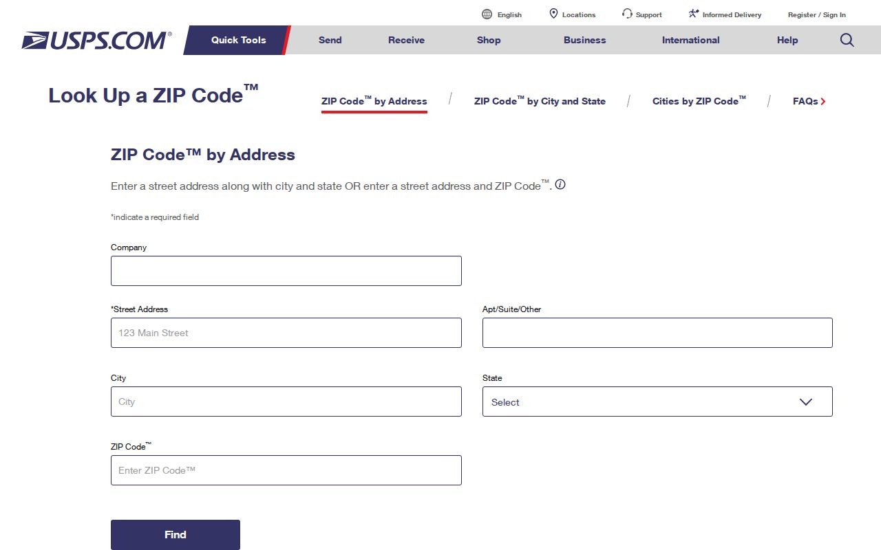
A standardized address is a delivery fact. It is a useful first key, but a legal parcel search still needs the location and block-and-lot identifiers maintained by the public records custodian.
Mount Laurel ZIP Code Terms
Postal terms are practical routing terms. They are not a substitute for property identifiers or a household list. Knowing the difference prevents a searcher from treating a delivery code as a statement about ownership, legal municipal limits, or everyone who lives in an area. USPS explains that the added digits in a ZIP+4 help direct mail more precisely within the delivery network.
- ZIP
- A postal delivery code used with a standardized address. It can cross a municipal line.
- ZIP+4
- The extra four digits that refine delivery routing beyond the five-digit ZIP for a particular segment or destination.
- PO box address
- A mail-receiving address at a post office. It does not identify the physical situs of a parcel.
- Carrier route
- A postal delivery grouping used to sort mail. It is not a township district, parcel boundary, or resident roster.
The USPS ZIP basics explanation describes the postal role of the code and the importance of standardizing the address line.
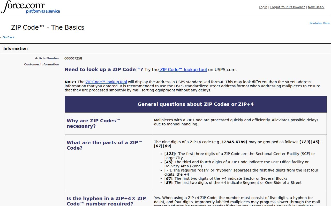
Use the extra routing detail only for the delivery task it serves. Parcel, ownership, and legal-description research remains with the township, county, and state record systems.
Mount Laurel Parcel Search Keys
Once a ZIP has narrowed an address, move from postal geography to the parcel record. New Jersey Property Explorer accepts address, county, municipality, block, and lot. It does not present itself as a simple ZIP-only resident directory. The official property data uses a stable tax identity: the physical situs address, owner mailing address, and legal block, lot, and qualifier may all be different pieces of the same record. A mailing address can be useful correspondence evidence, but it does not prove where an owner lives.
| Parcel search key | What it does | ZIP relationship |
|---|---|---|
| Address | Finds the physical location entered into the public parcel system | Compare its delivery ZIP after USPS standardization |
| County and municipality | Places the parcel in the correct local government geography | More reliable than a postal place name for jurisdiction |
| Block and lot | Identifies the tax parcel and supports deed research | Not a ZIP field |
| Owner mailing address | Shows tax correspondence location when published | May have another ZIP and is not occupancy proof |
The Burlington County tax-map page provides the Mount Laurel map route and says physical maps can be viewed at county offices.
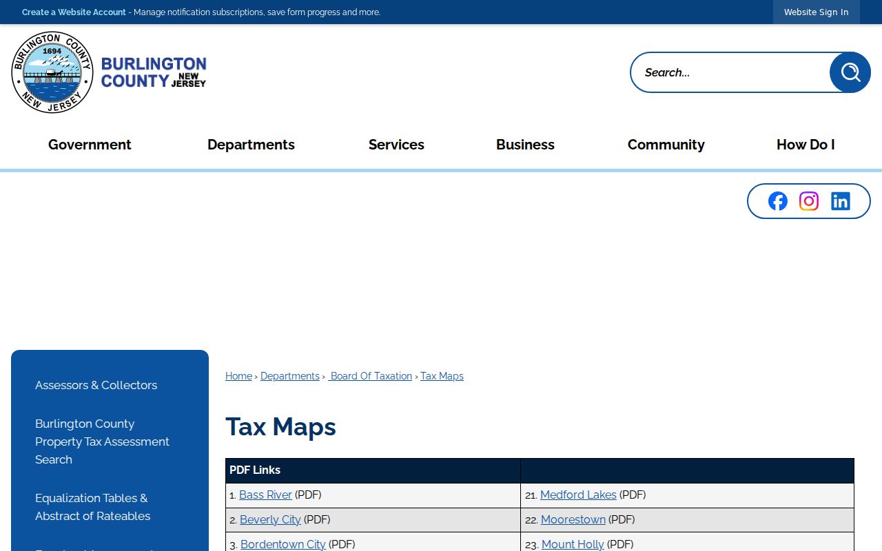
Tax maps supply legal parcel context when a street label is uncertain or a postal line crosses an expected boundary. Pair a map reference with the assessor record and the Clerk's recorded legal description.
Mount Laurel ZIP Boundary Mismatches
Mount Laurel is bordered by Evesham, Maple Shade, Moorestown, Hainesport, Lumberton, and Medford. Postal delivery areas can overlap that local geography in ways a township map does not show. The county-seat code, 08060, is a good example of a postal clue with a different role: it identifies Mount Holly office geography, not a Mount Laurel home address. Likewise, 08053, 08055, and 08057 are adjacent-service references, not permission to assign their delivery area to a Mount Laurel parcel.
Municipal office locations can add another wrinkle. Mount Laurel departments moved to 750 Centerton Road in 2024, while police remained at 100 Mount Laurel Road and court material may still carry that older address. That office transition is not evidence that a street was renumbered. It is a reason to verify the current custodian before mailing a request.
ZIP Codes Are Not Rosters
Myth: a ZIP can reveal everyone who lives inside it. A ZIP narrows mail delivery and can help slice address or parcel results. It does not establish household membership or produce a lawful list of people. Property data usually identifies an owner of record, not every occupant. New Jersey's voter-status portal is for a voter's own status, while fuller election files use the Burlington Superintendent's official request process and privacy rules.
Protected addresses, Daniel's Law redactions, Address Confidentiality Program participants, and ordinary record gaps can also limit public output. A familiar postal place name is never a reason to infer a person's residence. Keep a ZIP search focused on delivery verification, parcel location, a family-history address, or a specific custodian record.
Note: A map boundary or postal routing label can locate an area without identifying a particular household.
Mount Laurel ZIP Search Limits
MOD-IV supports historical filtering by year, municipality, block and lot, address, property class, and exemption status, but ZIP is not listed among its core documented variables. Do not promise a ZIP-wide MOD-IV search without checking the live interface. The Mount Laurel WIPP property search is reached through the assessor directory, yet its ZIP-specific filters were not captured in the research. Burlington County's public GIS property viewers were labeled offline when inspected; the statewide parcel tools are the documented fallback.
A careful ZIP code directory workflow therefore runs address first, parcel second, and record type third. When the ZIP has produced the right street or parcel, the Mount Laurel street directory has the address-focused path through assessment, deeds, maps, permits, and historical sources. That is more dependable than treating an unverified postal code as the main record key.
Mount Laurel ZIP Code Sources
The postal source answers the current delivery question. The assessor, tax-map, and recorded-deed sources answer the parcel question. The county clerk, courts, elections office, and municipal departments each answer their own records question. Keeping those roles separate makes the Mount Laurel ZIP code directory useful when an address crosses a familiar city label, a county office uses a nearby ZIP, or a historical record uses an older place description.
For a current address, return to USPS. For a legal location, retain the county municipality and block-and-lot reference. For an older address, preserve the date and any legal description before comparing it with a modern postal line.