
Search Mount Laurel Streets by Address
Use an address trail, not a presumed household list, for a Mount Laurel street search. A current tax record can identify the owner of record and the parcel. A recorded deed can connect that parcel to a legal description and earlier parties. A directory or properly requested voter record may add a separate clue, but neither turns the result into proof that every person at an address is current. This street directory keeps the distinctions clear: ownership, mailing contact, parcel location, and registered-voter status answer different questions.
- Locate the situs. Enter the physical Mount Laurel address in the assessor route, NJ Transparency, MOD-IV, or the statewide parcel explorer. Save the block, lot, and any qualifier with the address.
- Separate the two addresses. Compare the Mount Laurel parcel's situs with its owner mailing address. The second is a correspondence clue, not confirmation that the owner lives at the Mount Laurel property.
- Follow the legal key. Use Mount Laurel, block, and lot in Burlington County PRESS when the date range permits. Record the deed parties, instrument placement, recording date, and legal description.
- Use voter material carefully. The public status tool is for a voter checking personal status. A full Burlington request goes through the Superintendent of Elections and remains subject to the form, redactions, and privacy rules.
- Check an earlier street listing. A Mount Laurel criss-cross directory, where available, can supply a past address-section clue. Verify it against the tax, deed, or census trail before drawing a conclusion.
For a Mount Laurel address, write down the tax-list year beside each result. Annual Mount Laurel data can lag a transfer that happened after the January list date. That small habit keeps a street-by-street file from mixing a current parcel with an older owner record.
Mount Laurel Parcel Keys
Mount Laurel records use three identifiers that should stay together. The situs is the physical parcel address used by assessor, map, permit, and zoning work. The owner mailing address is where tax correspondence goes. Block and lot are the legal tax keys that help join a Mount Laurel street address to a deed, a tax map, or a MOD-IV row when a name or street label is uncertain.
- Parcel
- A defined piece of land in the Mount Laurel tax map and assessment system.
- Situs address
- The physical location of a Mount Laurel parcel, distinct from an owner's mailing address.
- Plat
- A recorded Mount Laurel subdivision or map document showing lots and blocks. Older maps may need county tax-map or archive access.
- Criss-cross directory
- An older Mount Laurel directory arranged by street and address rather than simply by surname.
MYTH. An offline county web map does not end a Mount Laurel by-address search. The documented fallback is New Jersey Property Explorer, which accepts address, county, municipality, block, and lot. County tax maps also provide a Mount Laurel PDF, while physical maps can be viewed in room 111 of the County Administration Building.
Mount Laurel Tax Lists by Street
The county assessor directory routes Mount Laurel property searches to WIPP ID 0324, but the live form fields were not fully confirmed in the research capture. The state sources provide the safer field picture. New Jersey Transparency's property records show owner and location information, block and lot, assessed land and building value, prior-year taxes, and property classification. Treat that annual tax list as a current parcel reference, not a roster of every Mount Laurel resident.
The state property-tax resource shown below is used for a Mount Laurel street directory search.
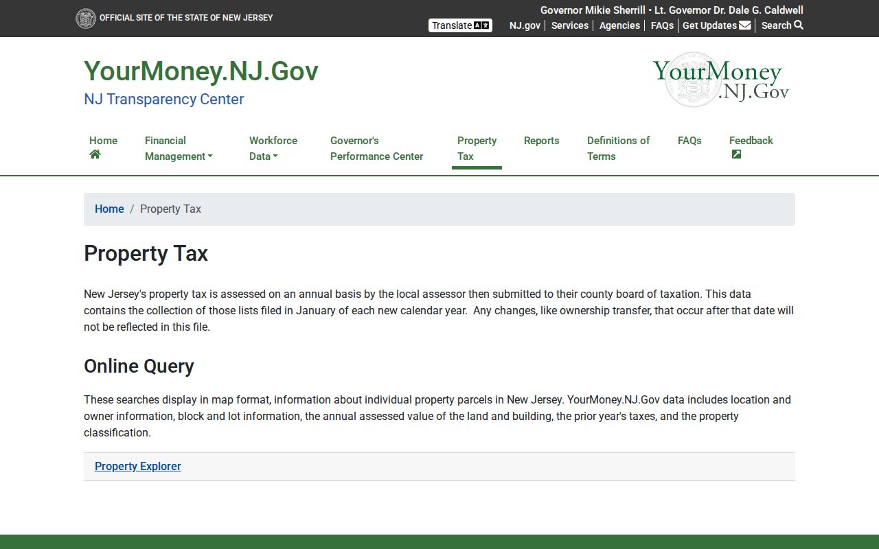
Check the list year before relying on a Mount Laurel owner name. The state cautions that a transfer after the January list date may not yet appear. That timing is why the deed index is the next check when a street record looks stale.
| Mount Laurel field | How it helps by street | Important limit |
|---|---|---|
| Owner and location | Connects a Mount Laurel parcel to its tax owner and physical location. | Owner is not automatically a current occupant. |
| Block, lot, qualifier | Links a Mount Laurel address to deeds, maps, and historical rows. | Units or special lots can require the qualifier. |
| Land and building assessment | Identifies annual Mount Laurel assessed components. | Assessment is not a sale price. |
| Classification and exemption | Offers tax-list context for a Mount Laurel parcel. | A flag is not proof of residency without assessor confirmation. |
Mount Laurel MOD-IV Street History
For a Mount Laurel street directory search across years, the MOD-IV Historical Database supplies a separate historical tax-list check. It contains full datasets from 1989 through the latest released set and permits filters for year, municipality, block and lot, address, property class, and exemption status. It can also highlight blocks on an integrated map and export CSV results. Its data came from municipal assessors over decades, so an unusual field needs confirmation from the responsible office or a recorded document.
The historical parcel database shown below is relevant to Mount Laurel street records.
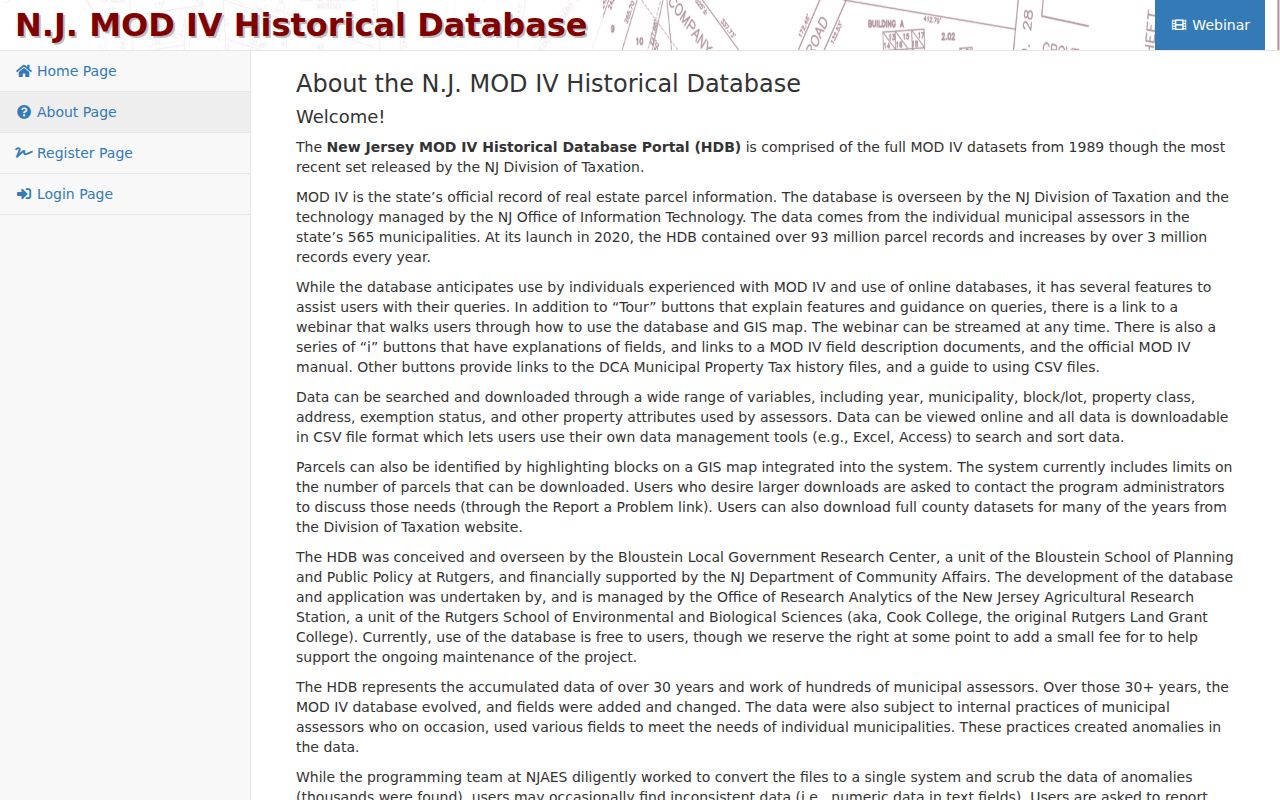
Use the Mount Laurel municipality filter with the street address or legal keys, then preserve the selected year in Mount Laurel research notes. MOD-IV is especially useful where a whole street has changed over time, but its stated anomaly warning means a single row should never stand alone.
Mount Laurel Parcel Maps Offline
Burlington County's GIS page listed the Property Viewer Web Map and recommended mapping application as offline when the research was inspected. The statewide parcel fallback remains useful for a Mount Laurel address because it can search address, county, municipality, block, and lot. The county's downloadable mtlaurel layer records Mount Laurel tax-lot boundaries dated 09/17 and a NEWGISID that links to MOD-IV data.
Mount Laurel map geometry helps sort out neighboring lots, road alignment, and a similar street name. It does not settle ownership by itself. Pair the map record with the Mount Laurel tax-list year and the PRESS legal description, and do not turn a development label or visible boundary into an ownership claim.
Note: Statewide parcel data may redact owner names for people protected by Daniel's Law, even where the property geometry remains visible.
Mount Laurel PRESS Search Modes
Burlington County PRESS is the recorded-document side of a Mount Laurel street directory. It has separate instrument, document-type, block-and-lot, and party-name modes. In a name search, the last or company name is required and a percent sign works as a wildcard. Document-type and block-and-lot modes require a municipality and date range. Record the result's parties, document position, date, legal description, and image status before moving to the prior deed.
| PRESS field or mode | Mount Laurel use | Format or cutoff |
|---|---|---|
| Municipality | Sets Mount Laurel for document-type and block/lot work. | Required in those modes. |
| Block, lot, qualifier | Matches a current Mount Laurel parcel to later instruments. | Block/lot search after March 1, 2012. |
| Last or company name | Finds a Mount Laurel owner or recorded party. | Required in name mode; % can be a wildcard. |
| Document type and dates | Narrows Mount Laurel deeds, mortgages, liens, or another filing. | Date pair is required in document and block/lot modes. |
| Instrument, book, page | Retrieves a known Mount Laurel filing position. | Instrument mode uses the placement fields. |
Coverage changes the method. Records after March 1, 2012 can be searched by block and lot or owner name. The 1965 through February 2012 range is owner-name only. Earlier records go to the county archive viewer and are also owner-name only. PRESS does not include maps recorded before 1995.
INSIDER TIP. Burlington County advertises Property Alert as a free email or phone notice for a deed, lien, or mortgage recorded with a subscriber's name. It is useful for a current owner watching for a new filing, not for reconstructing a historic Mount Laurel owner chain.
Mount Laurel Address Records Compared
A Mount Laurel street directory works best when each record is used for its own purpose. The table distinguishes the parcel trail from the community or historical trail. It also identifies the access route when a web search is incomplete, including municipal OPRA requests and the county's physical tax-map room.
| Mount Laurel record | Custodian | Street evidence | Access route |
|---|---|---|---|
| Mount Laurel assessment and tax list | Mount Laurel assessor, WIPP, MOD-IV | Owner, situs and mailing addresses, block/lot, class, values | Official directory and state property tools |
| Mount Laurel parcel geometry | Burlington GIS and NJOGIS | Tax-lot boundary, map context, parcel identifier | Statewide explorer, download, or county tax map |
| Mount Laurel deed, mortgage, or lien | Burlington County Clerk PRESS | Recorded parties, dates, legal description, image availability | Free quick search, account image option, counter or copy route |
| Mount Laurel voter registration file | Superintendent of Elections | Requested name, address, party, ward, district, and ballot-event fields | Official request form, rules, redactions, and applicable charges |
| Mount Laurel permit, inspection, or zoning | Mount Laurel Construction, Zoning, Township Clerk | Project, inspection, use, district, or code chronology | Form or OPRA request, as applicable |
| Mount Laurel historical directory | Library and archival collections | Past street or address-section clue | Collection-specific research access |
The stable Mount Laurel join is usually block and lot. It carries a Mount Laurel parcel from the assessment record into later PRESS results and can clarify a map or permit request. A street label still helps locate the property, but it is less stable than the legal identifier when older documents describe a farm, route, subdivision, or postal place.
Mount Laurel Permits by Address
Permits and zoning add a chronology to a Mount Laurel street search. The township's zoning-verification form asks for the address, block, lot, zone, and requested details; a complete request is reviewed within ten business days. For permits, certificates of occupancy, code records, or property-maintenance matters, the form directs requesters to the Township Clerk's OPRA route.
These Mount Laurel records can date construction, additions, pools, HVAC work, basement finishing, or inspections. They do not identify every person who has used the property. The construction-inspection sheet requires 24-hour notice and says inspections occur no later than 72 hours after the desired time, a useful context for a recent Mount Laurel project record.
Mount Laurel Addresses and Postal Places
A Mount Laurel street name can be paired with a postal place that is not the municipality. Burlington County's emergency-address guidance tells Mount Laurel residents to use the town where they actually live, rather than relying only on the post-office place line. That distinction matters when a county road, adjacent community, or old directory title appears beside a Mount Laurel address.
The county's emergency-addressing guidance is the source for the Mount Laurel address context shown below.
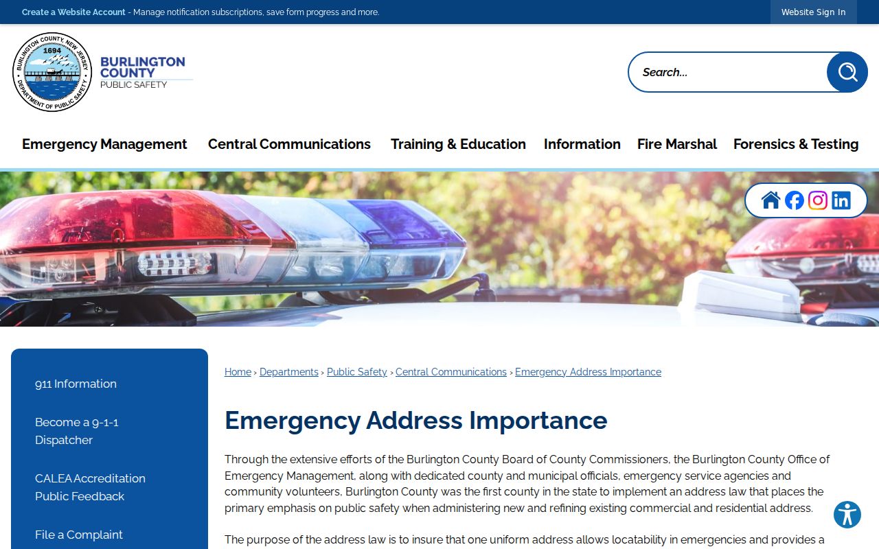
Keep the municipality, street address, and block-and-lot reference together. If an older municipal document lists 100 Mount Laurel Road, remember that township departments moved to 750 Centerton Road in 2024 while police remained at the earlier address. That is a custodian-location change, not evidence that a private street number changed.
Mount Laurel Street Directory Limits
Public Mount Laurel parcel and deed records do not reveal every household member. Mount Laurel utility customer lists are not public, and DMV address information is restricted by the federal Driver's Privacy Protection Act. The voter self-check is personal status verification, not a street roster. Protected voter addresses, ACP participants, and people covered by Daniel's Law may be lawfully absent or redacted from otherwise public-looking records.
For a past address-section clue, consult the historical collection and then confirm it with the relevant custodian. The Mount Laurel city directories route is the better place to examine the historical shelf, while this street directory stays focused on the current parcel and address chain.
Lawful use. Use Mount Laurel address records for personal research, family history, civic curiosity, or confirming a record with its custodian. Public access never permits stalking, harassment, intimidation, threats, or unwanted surveillance.